Spatio-temporal analysis on urban development and scenario-based flood risk assessment in Lower Mekong region
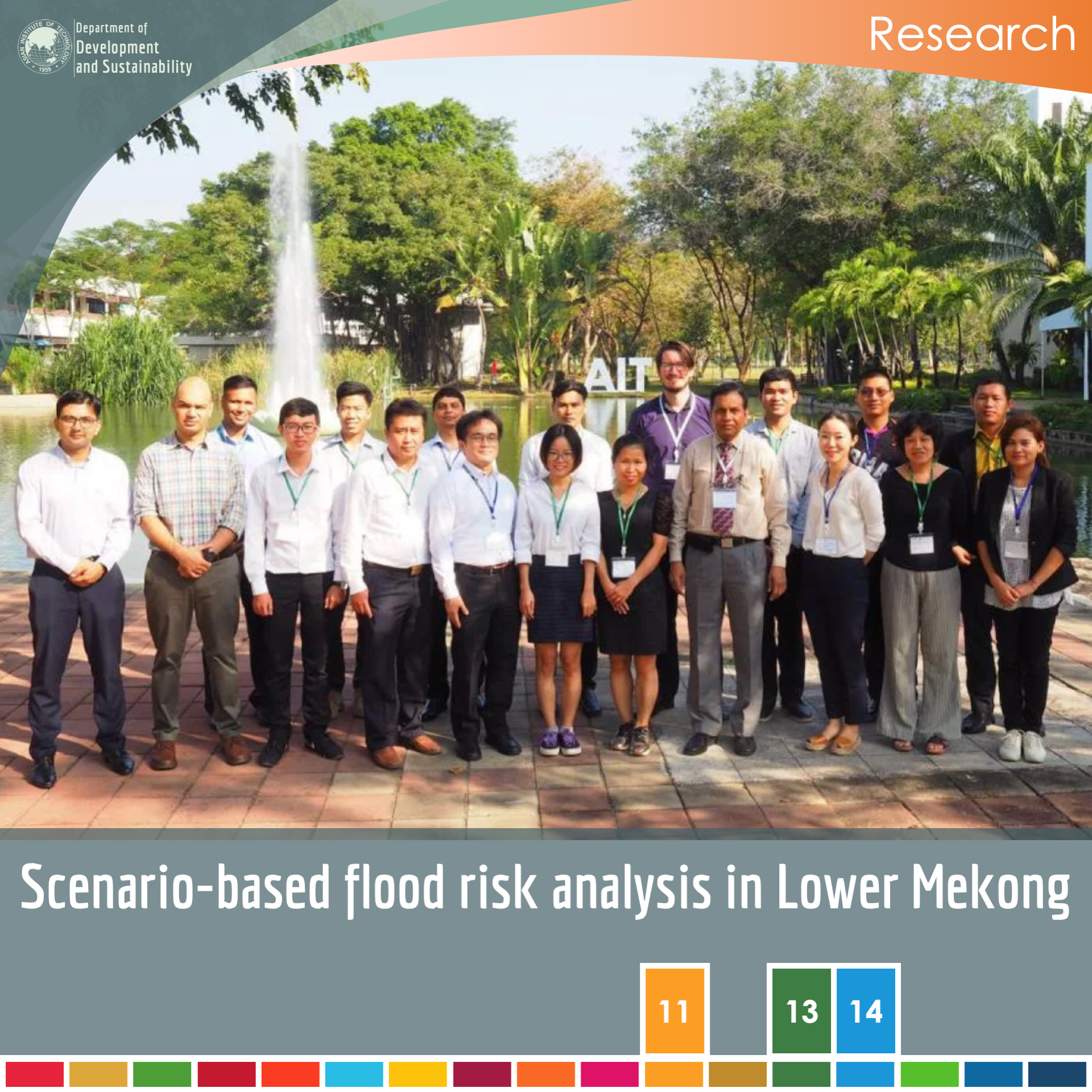
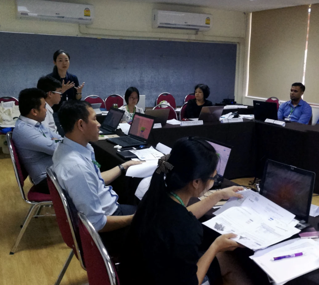
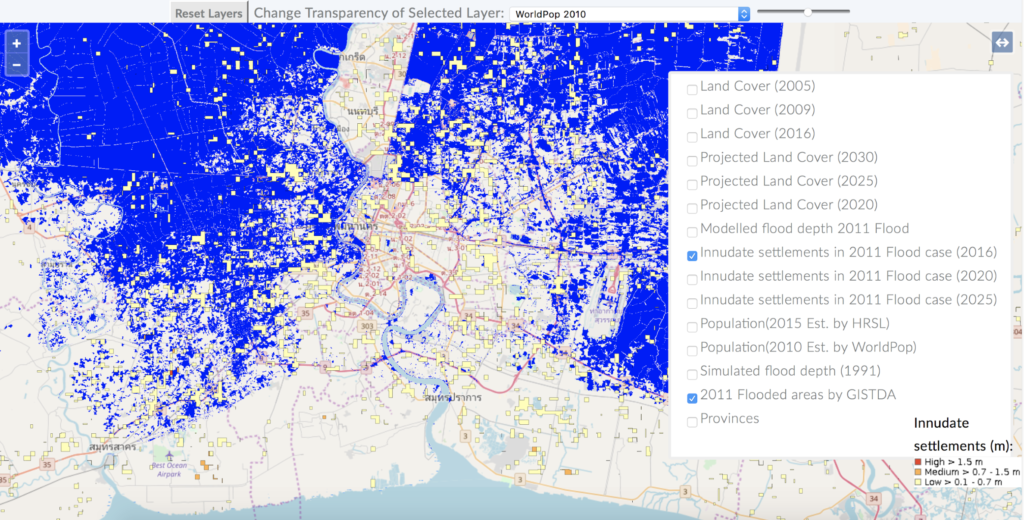
The project aimed at spatial and policy assessment on the future vulnerability to flood hazards in the context of urban growth for Lower Mekong region. Activities performed include: 1) development and dissemination of a flood risk assessment system combined with open-source global-scale geospatial and socioeconomic datasets on a cloud-based platform; and 2) organizing policy dialogue with key stakeholders and producing policy brief on the integration of flood risk considerations into urban development strategies for urban risk reduction and resilience.
Keywords Flood risk, Disaster risk reduction, Climate change, Sea level rise, Urban planning
Research
Duration 2017 – 2018
Faculty Dr. Sohee Minsun Kim
Partner/Sponsor/Funding USAID (SEVIR-Mekong Program)
Website https://servir.adpc.net/news/experts-test-aits-flood-risk-assessment-system